This microcontroller is an improvement of my regular Radar Map and incorporates the use of a sonar.
Therefore you can not only display aerial contacts but also those on and under the surface of the sea.
The map display features additional buttons: Besides the Track function (T), there is now a Sonar (S) button, that allows you to switch to passive, then active sonar and back off again.
Features include:
- single click to focus on a place on the map
- double click to return focus to craft
- a zoom slider to the right side of the screen
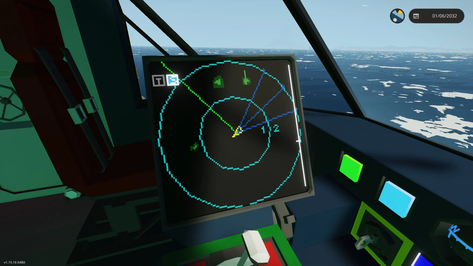
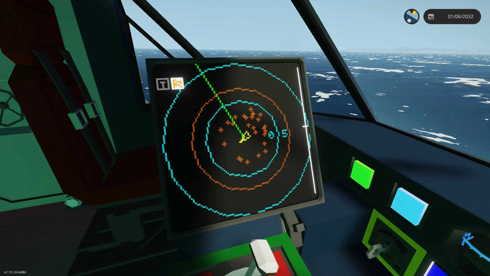
- distance rings around the craft, to improve situational awareness
- when radar active, the radar beam and the configured max radar range (only visual)
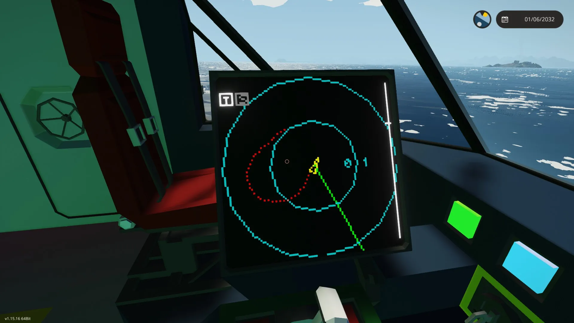
- radar targets above in red and below in blue
- current waypoint as cyan diamond with a magenta course
- distance to waypoint and ETA
- FLIR target point shows the target of a connected targeting pod or camera
- Track functions, displays a record of the track the craft has moved. Can be used e.g. for search patterns.
- in passive sonar mode (S in blue), shows blue lines to passive detected sonar targets
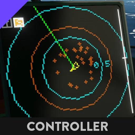
- in active sonar mode (S in orange), pings the current visible area and shows position of contacts. To increase pinged area, decrease zoom.
-
Keep in mind that sonars use quite a lot of power, so keep them of if your generators are not up to the task.