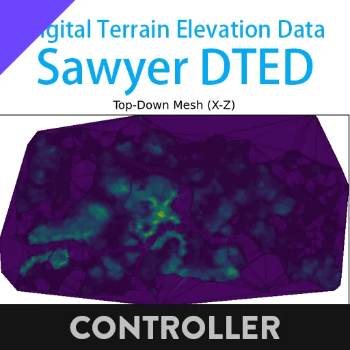
What is this & How to use it
This is a DTED (Digital Terrain Elevation Data) of Sawyer Island (AKA the main island)
Input a composite number of (x, y) coordinate (in channel 1,2), it will output the calculated elevation of this coordinate
Is it totally accurate?
Unfortunately, no.
Due to the original data is from actual scanning, there is some topographic features were ignored.
The exact extent of the error has not yet been measured in detail.
But how it achieved?
Github repository includes core code of this work:
https://github.com/BKN46/bkn-stormworks-utils/tree/main/sw-dted-scan
Well, a industrious worker bees scans the island for about 12hours. It collected 389636 surface point.

https://i.imgur.com/YhEYvsU.mp4
After some cleaning and data aggregation, 312021 points remains.


We then gridded the triangulated data and selected residual points representing terrain features.
After that, it remains 201094 points of grid data and 113075 points of residual data.
 Yeah you can see grid are denser on north, all because sample rate changed a little, but it wont effect much. So the north side is more accurate.
Then I do the BASE62 encoding, to feed the query lua script.
In query side, it's like this:
```
┌─────────────────┐
│ Input (x, z) │
└────────┬────────┘
│
▼
┌─────────────────┐
│ 1. Grid Index │
│ gx, gz │
└────────┬────────┘
│
▼
┌─────────────────┐
│ 2. LRU Cache │
│ Hit? → Return │
└────────┬────────┘
│ Miss
▼
┌─────────────────┐
│ 3. Base Height │
│ h[gx][gz] │
└────────┬────────┘
│
▼
┌─────────────────┐
│ 4. Residual IDW│
│ Gaussian Weight│
└────────┬────────┘
│
▼
┌─────────────────┐
│ y = h + δ │
│ Cache & Return │
└─────────────────┘
```
And that number y this the calculated elevation data of this point.