New map has been created!
Features
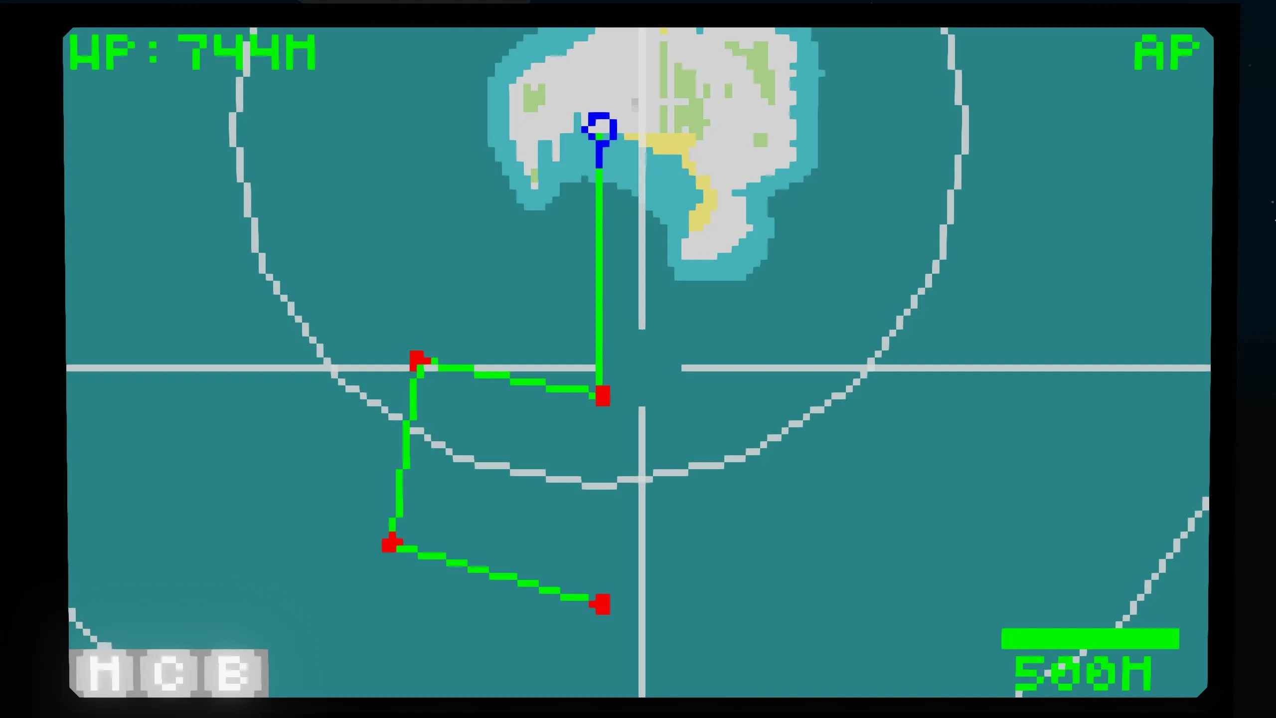
- Multiple waypoints can be added
- Automatic navigation
- Search radar can be connected
- Zoom in/out with a touch
- Waypoint output terminal
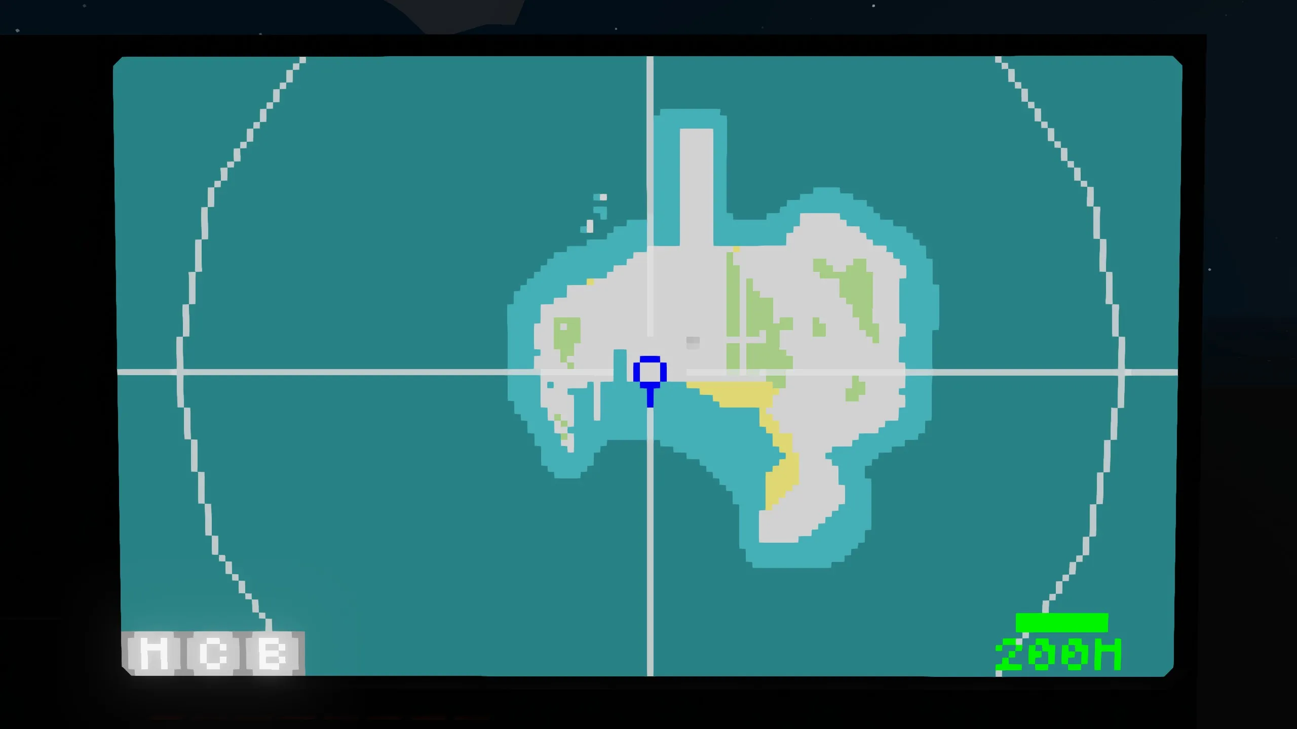
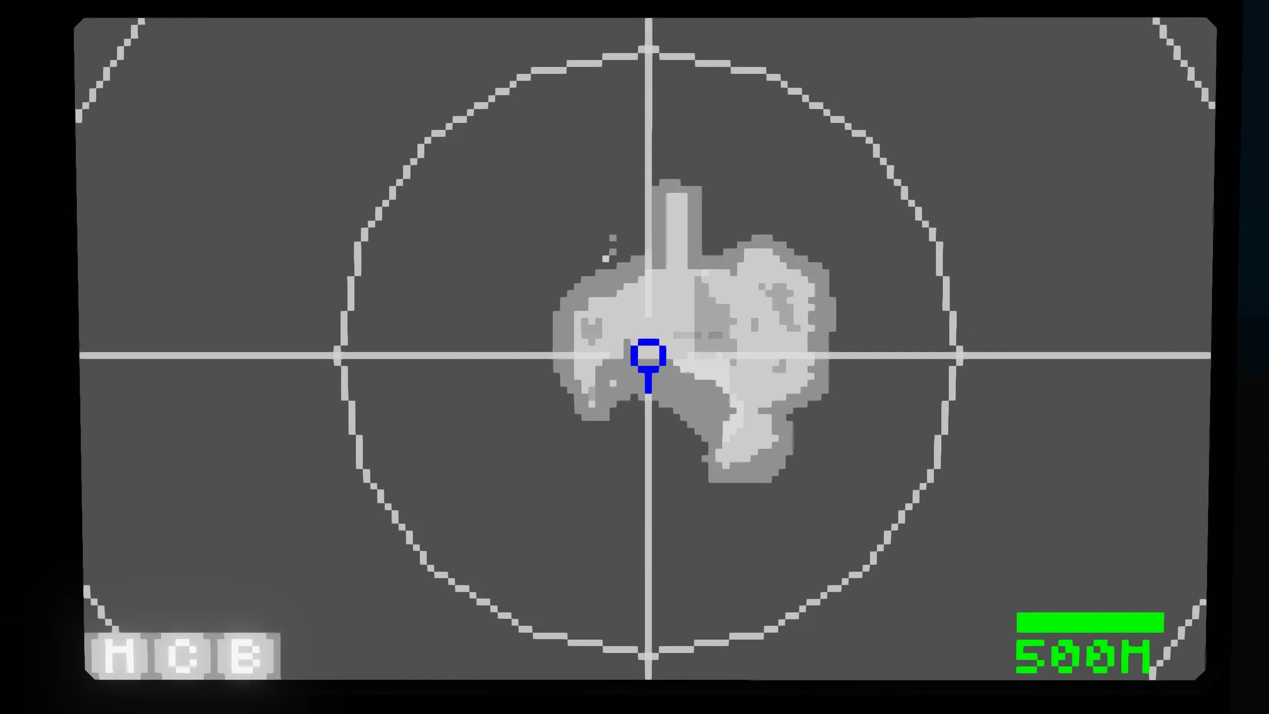
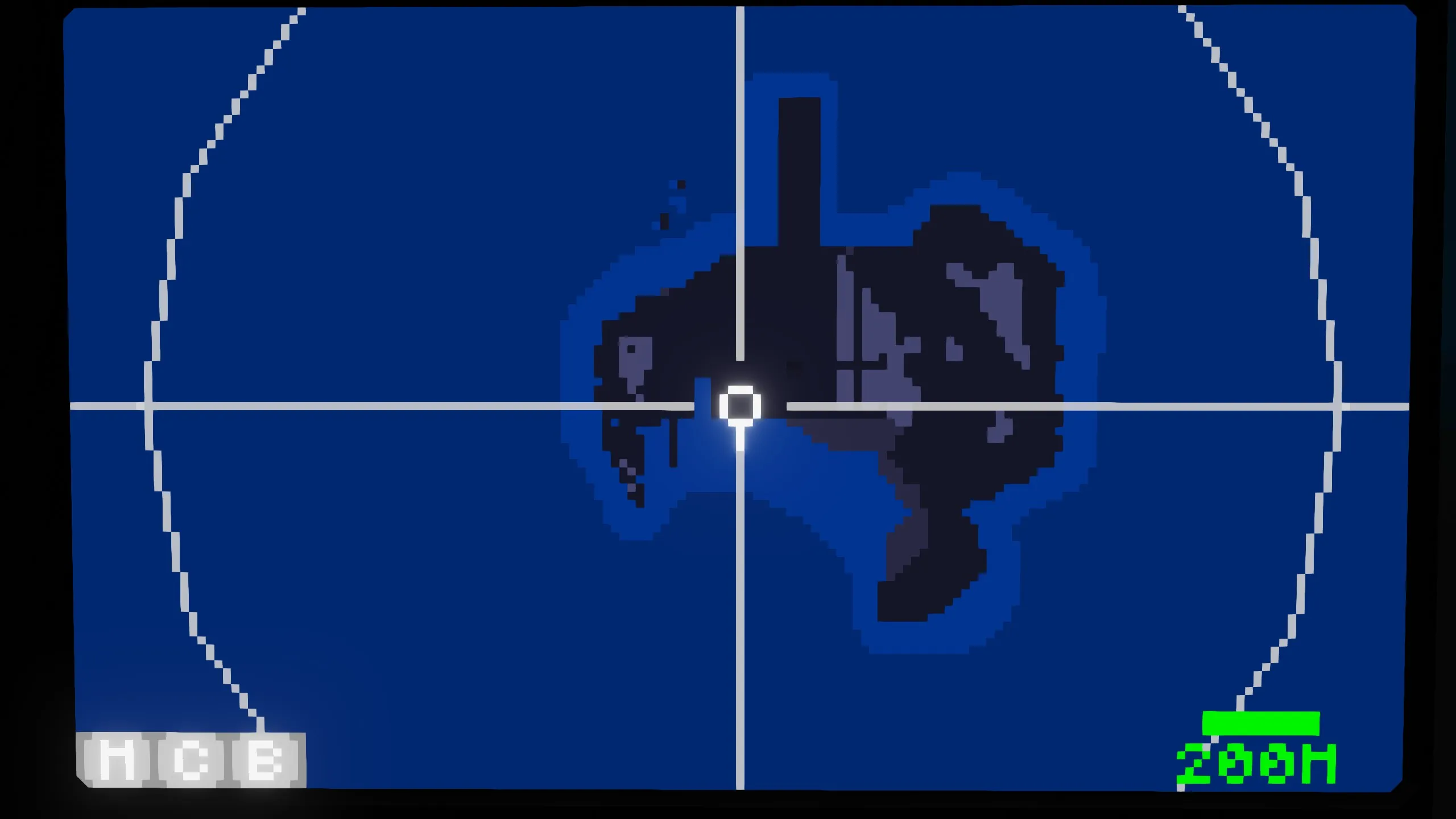
- Map color can be changed
- SR V3, HMD V2 included
[/list]
Description
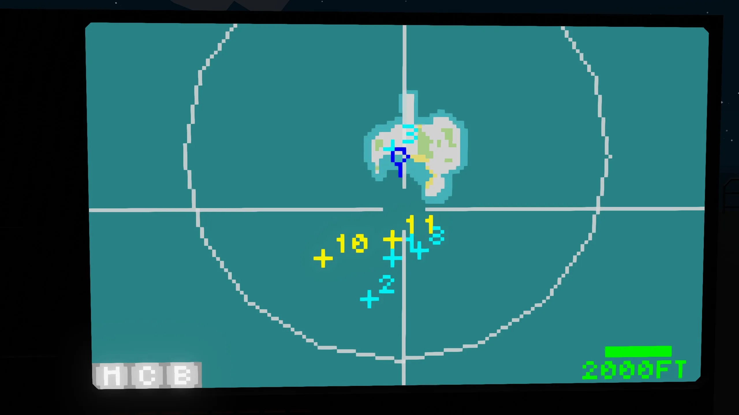
I created a map that integrates multiple functions. It is possible to set waypoints and navigate automatically while displaying search radar information. In addition, the WPD1 output terminal allows you to output waypoint information, so it can also be displayed on an HMD, etc.
Touch operation explanation
Map center movement
Touch
Add waypoint
Double touch
Zoom in
Long press
Zoom out
Long press with two fingers
Button explanation
M
Center on vehicle
C
Delete all waypoints
B
Delete one waypoint
Terminal description
SRD1 input terminal
number
Contents
1
Target X
2
Target Y
3
Target Z
4
Target ID
5~24
Repeat
If you do not enter any target information, please set Target ID = 0.
WPD1 output terminal
number
content
1
X coordinate of nearest waypoint
2
Y coordinate of nearest waypoint
3
Z coordinate of nearest waypoint
4~6
No output
7
Distance to nearest waypoint[m]
8
Time to nearest waypoint
Note that the Z coordinate of the waypoint outputs the same value as your altitude.
bool
content
1
ON when waypoint exists
2
Automatic navigation ON/OFF state
Property description
I'm tired of writing so I'll write it again next time.